


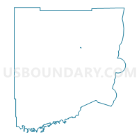
731.1-Voting District, Miami-Dade County, Florida
About
Outline

Summary
| Unique Area Identifier | 555460 |
| Name | 731.1-Voting District |
| County | Miami-Dade County |
| State | Florida |
| Area (square miles) | 0.07 |
| Land Area (square miles) | 0.06 |
| Water Area (square miles) | 0.01 |
| % of Land Area | 90.54 |
| % of Water Area | 9.46 |
| Latitude of the Internal Point | 25.70976620 |
| Longtitude of the Internal Point | -80.37854710 |
Maps

Graphs
Select a template below for downloading or customizing gragh for 731.1-Voting District, Miami-Dade County, Florida


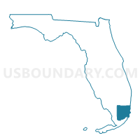
Neighbors
Neighoring Voting District (by Name) Neighboring Voting District on the Map
Top 10 Neighboring County Subdivision (by Population) Neighboring County Subdivision on the Map
- Kendale Lakes-Tamiami CCD, Miami-Dade County, FL (364,498)
- South Westside CCD, Miami-Dade County, FL (91,525)